Intermap Completes $7.7 Million Acquisition of PCI Geomatics
Intermap Technologies has finalized its $7.7 million acquisition of PCI Geomatics, adding 30,000 software licenses and issuing 2027 revenue guidance.
By Muhamed Porić
October 13, 2026 at 2:21 PM
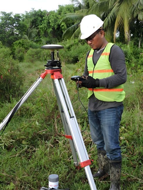
Intermap Technologies has finalized its $7.7 million acquisition of PCI Geomatics, a transaction designed to integrate optical image processing and distributed edge capabilities into its existing 3D geospatial analytics platform. The deal, executed under the Canada Business Corporations Act, consolidates Intermap's ownership of the firm previously known as CATALYST.
"Strong growth in our commercial verticals demonstrates that better data drives better decisions," said Patrick A. Blott, Chairman and CEO of Intermap, in a statement regarding the closing. "Now we are pushing these capabilities closer to the edge through the software and agreements already in our customers’ hands."
Expanding Software Footprint
The acquisition adds more than 30,000 installed software licenses across over 150 countries to Intermap’s portfolio. By absorbing PCI Geomatics, Intermap gains technical expertise in distributed edge processing, which allows data-heavy geospatial analysis to occur closer to the source rather than relying solely on centralized cloud infrastructure.
"Combining PCI's distributed edge processing capabilities with Intermap's proprietary 3D data, processing and analytics gives us more ways to solve those problems and reduce latencies," said June McAlarey, President and CEO of PCI and Executive Vice President of Intermap.
Financial Outlook and Liquidity
Following the cash-based acquisition, Intermap reported available liquidity of approximately $14 million. This figure excludes specific credit support arrangements previously established for a procurement project in Indonesia.
For mid-term performance, the company issued 2027 commercial revenue guidance in the range of $12 million to $15 million. Intermap projects that this revenue expansion will support an Adjusted EBITDA of approximately $5 million by the same fiscal period.
Strategic Integration of Geospatial Data
For general readers, the integration of edge processing in this context refers to the ability to perform complex image analysis, such as identifying terrain changes or infrastructure damage, directly on local devices or regional servers. This reduces the time-to-insight for customers who require real-time data, including those in emergency management, defense, or utility operations. By combining this processing power with Intermap’s proprietary 3D datasets, the company intends to convert raw satellite or aerial imagery into intelligence with lower latency.
Muhamed Porić
Founder and Editor of Embers.
Newsletter
Get Embers in your inbox
The stories that actually moved something, delivered when there's something worth sending, not daily filler.